Our Services
At Remote Water Analytics, we leverage state-of-the-art remote sensing technologies to offer a range of products and services designed to provide comprehensive insights into soil condition. We specialize in developing robust, reliable, cost-effective, and efficient methods for soil monitoring, which allows us to deliver accurate and actionable information. Let’s discuss how up-to-date and spatially continuous data, displayed on an interactive data platform, might be used to optimise your agricultural activities.
Here’s a detailed look at the services we provide:
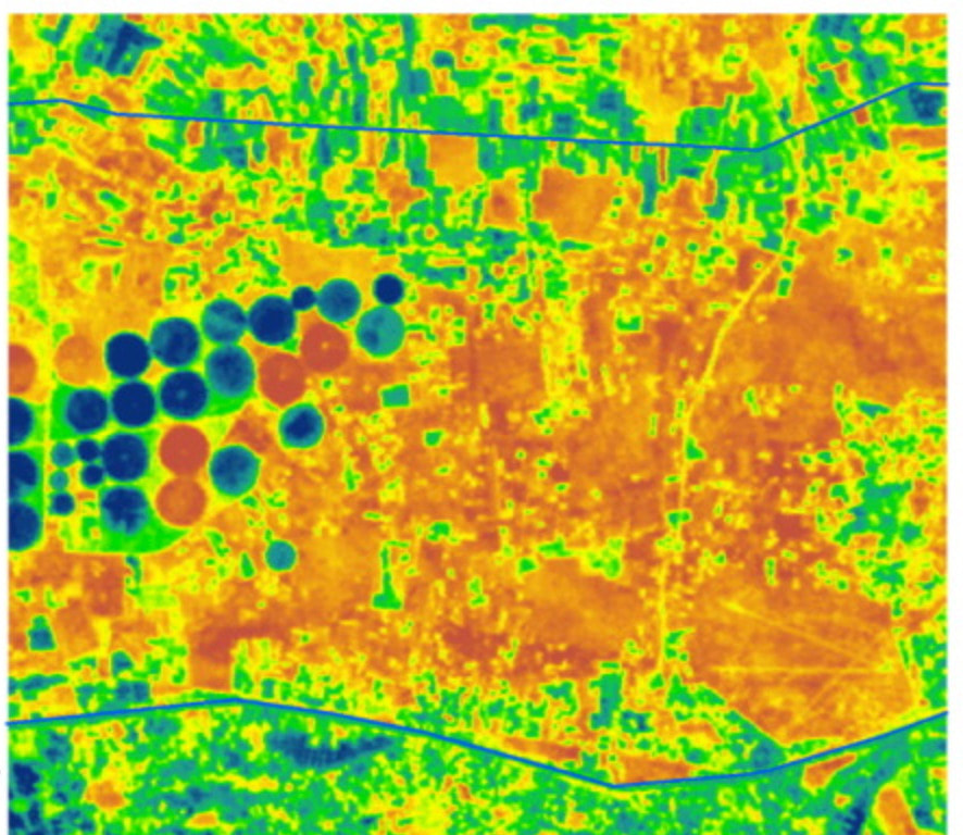
Soil Moisture Mapping
Understanding soil moisture levels is crucial for effective water management and agricultural productivity. Our soil moisture mapping service uses state-of-the-art sensors and satellite imagery to provide detailed maps of soil moisture distribution across a range of environments. This service helps to:
- Optimise irrigation schedules
- Enhance crop yield
- Manage water resources efficiently
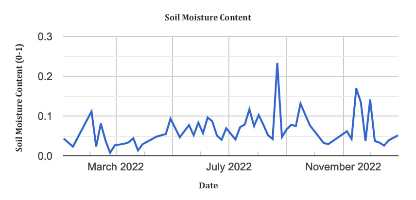
Long or Short-Term Soil Monitoring
Our soil monitoring services cater to both long-term and short-term needs, offering continuous and precise monitoring of soil conditions. We deploy high-quality sensors that measure various soil parameters such as moisture, temperature, and nutrient levels. Benefits of our soil monitoring services include:
- Real-time data access
- Regular updates in soil condition
- Spatial insights into soil moisture content, health and productivity
- Early detection of soil health issues
- Better decision-making for sustainable farming practices
Geospatial Data Visualization
Transforming complex data into intuitive visual formats, our geospatial data visualisation service enables you to see and understand patterns and trends in your soil and water data. We use advanced GIS (Geographic Information Systems) tools and remote sensing data to create:
- Interactive maps
- Landscape models
- Analytical dashboards highlighting seasonal and spatial variability

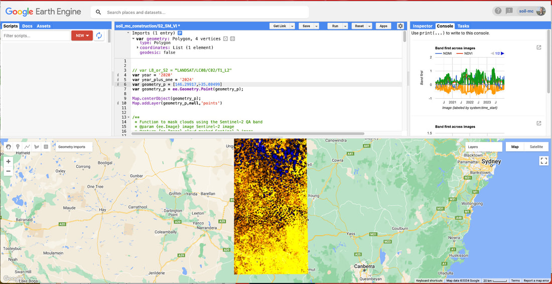
Remote Sensing
Leveraging the power of remote sensing technology, we provide detailed and accurate information about soil and water conditions from a distance. Our remote sensing services include:
Helping land managers to apply these insights is our passion.
- Satellite imaging
- Spatial and temporal monitoring
- Predictive modelling
Helping land managers to apply these insights is our passion.